In October of 1842 a survey was undertaken on behalf of the Northern Railroad by a gentleman name T.J. Carter. The survey was to lay out the route the Northern Railroad was to take north of Concord to the Connecticut River. There were three different routes considered, a northern route that went as far north as Plymouth before turning west, a southern route that left Concord and followed the Contoocook and Warner River valley’s to Sunapee Lake and then on to Lebanon, and the route that was chosen, which runs along the Merrimack River through Boscawen and on to Franklin where it then turns westward towards Lebanon.
The report, published in 1844, begins at the Concord Railroad Depot and takes us northward across Horseshoe Pond. The survey arrives at Sewall Falls where it is determined that a river wall will need to be construct to protect against the “action of the river”. As they continue north it is also recommended that the river’s course be altered near the area now know as Goodwin’s Point. The survey continues on past the Rolfe farm to Dustin Island where it is recommended two bridges be built to cross the mouth of the Contoocook River in to Boscawen.
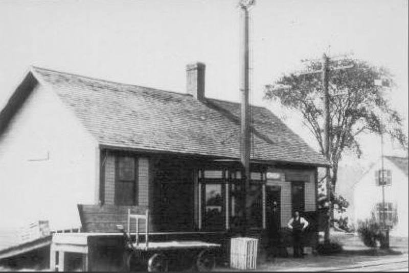
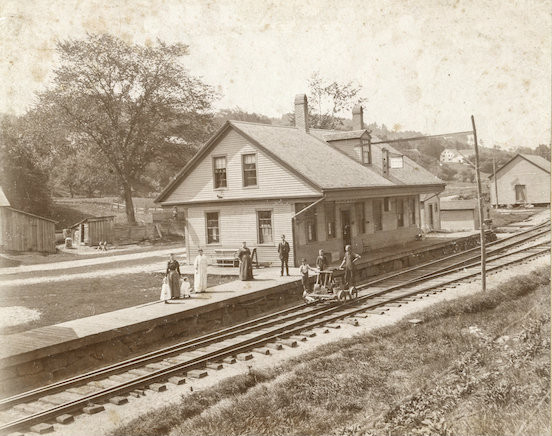
The survey continues north along the west bank of the Merrimack River, across the mouth of the Contoocook River to Boscawen to the location of the future train depot and Rainbow Bridge. Traveling north for another four miles or so they come to the Gerrish farm and the future site of the Gerrish Depot.
This report is full of wonderful description of the topology of the area and mentions many familiar landmarks. It was completed in 1842.
The Northern Railroad – Concord to the Connecticut River